Snow That Booms: How to Read a Thundersnow Recipe in the Radar
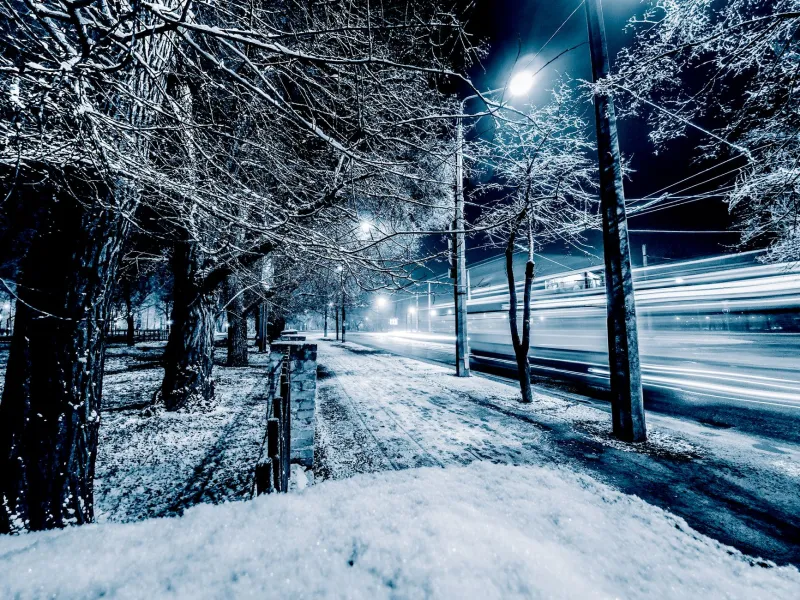
Thundersnow has a reputation problem. It sounds like a glitch in the weather app: lightning in a snowstorm, thunder rolling across a white highway, a flash that turns the falling snow into a strobe-lit curtain. But the atmosphere is not breaking its own rules. It is following a recipe.
Most snowstorms are stable. The air is cold, the moisture is layered, and the vertical motion is broad and gentle. Thundersnow happens when a snowstorm develops a small but real convective engine inside that colder, quieter setup. The result is not a summer supercell with a towering anvil. It is a compact, energetic updraft that manages to separate enough electric charge to spark.
The three-ingredient recipe
Meteorologists often describe thundersnow with a short list: steep lapse rates, strong lift, and shallow convection. Each one does a different job.
Steep lapse rates: the fuel
A lapse rate is simply how fast temperature drops with height. A steep lapse rate means the air near the ground is relatively mild compared with the air above it, or that cold air is moving in aloft and destabilizing the column. That temperature difference makes the atmosphere want to overturn. In winter, the contrast is often strongest when cold air sweeps over a relatively warm lake or when a sharp front slices into a moist snow shield.
Strong lift: the trigger
Instability alone does not make thunder. The air needs a push. Fronts, low-pressure centers, lake-effect bands, and terrain can all force moist air upward. When that lift is strong and focused, it can turn a broad snow area into something lumpy and convective. In the Great Lakes, the lakes supply both moisture and heat. In the Plains, a strengthening low or a sharp cold front can do the lifting. Along the East Coast, a nor'easter can wrap intense lift into its comma head.
Shallow convection: the lid
Winter convection is usually shallow because the moisture and instability are limited to a relatively low layer. The tropopause is lower, the air aloft is cold, and the storm does not have the depth of a spring thunderstorm. That is why thundersnow often produces a few flashes rather than a full lightning show. The convection is real, but it is squeezed.
Where thundersnow shows up in the US
Thundersnow is uncommon, but it is not random. It has favorite neighborhoods.
The Great Lakes are the classic thundersnow factory. Cold air crossing relatively warm lake water creates steep lapse rates and strong low-level heating. Lake-effect snow bands can become convective enough to spark lightning, especially during the first big cold outbreak of the season when the lakes still hold summer heat. If you live downwind of Lake Michigan, Lake Erie, Lake Ontario, or Lake Superior, you have probably seen the setup on radar even if you have never heard the thunder.
The Plains get thundersnow with strong winter cyclones and sharp cold fronts. A Colorado low or a fast-moving clipper can generate enough lift and instability to produce lightning inside heavy snow. The same is true in parts of the Midwest when a front forces moist air upward while cold air pours in behind it.
Nor'easters can also produce thundersnow, especially near the coast and within the most intense parts of the comma head. The storm is large, but the lightning tends to be isolated. It shows up as a burst of convection embedded in a much broader shield of snow.
Mountain West storms can get in on the act too, usually when strong terrain-induced lift and unstable air combine. It is less common, but it happens.
What it looks like on radar
Thundersnow does not usually look like a summer thunderstorm on radar. You are not hunting for a lone, towering cell in a clear air mass. You are looking for a broad snow shield with embedded brighter cores, especially where those cores persist and where lightning detection picks up a strike.
Radar reflectivity in snow can be tricky. Wet snow, graupel, and mixed precipitation can produce bright returns that look intense but are not necessarily convective. The better clue is structure plus lightning. If a bright core sits inside a larger area of snow and the lightning network pings at the same time, you are probably looking at convective snow.
In a nor'easter, watch the comma head. In a lake-effect event, watch the bands. On the Plains, watch the front and the low-pressure center. The common thread is focused lift inside a cold, moist environment. When the radar starts to show lumpy, persistent cores and the lightning alerts start ticking, treat the snow as convective: locally heavy, gusty, and capable of dropping visibility fast.
When the snow booms: safety rules that still apply
Lightning safety does not get a snow day. If you can hear thunder, you are close enough to be at risk. Get inside a substantial building or a hard-topped vehicle. Avoid open fields, ridgelines, lone trees, and exposed ski lifts. If you are caught outside, descend if you can, spread out from other people, and avoid being the tallest object around.
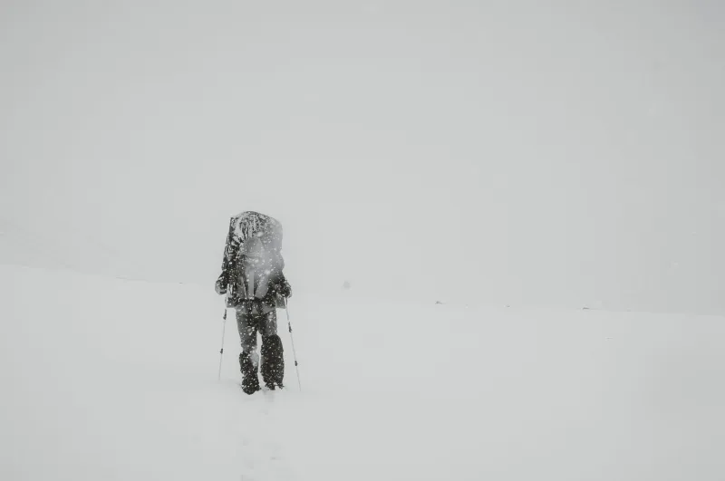
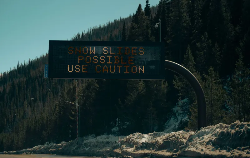
Thundersnow also tends to come with intense snowfall rates and gusty winds. That means road conditions can go from bad to impossible in a hurry. If you are driving, do not stop in a spot that blocks a plow or hides you from traffic. Use an exit or a safe pullout. Keep your headlights on, slow down, and give yourself room.
And if the sky flashes while the snow falls, do not stand outside filming it. The same storm that is making a strange and beautiful scene is also making a dangerous one. Read the recipe, enjoy the radar, and let the thunder be your cue to take shelter.